-

Baviaanskloof Touring Map – Digital (Edition 5)
R230.00 Add to cart -
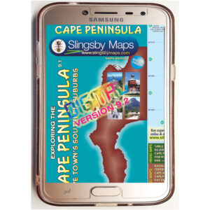
Cape Peninsula Touring Map – Digital (Edition 9)
R230.00 Add to cart -
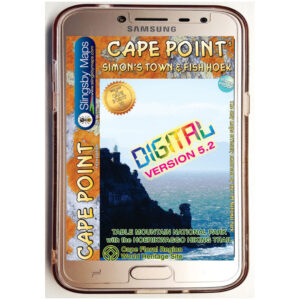
Cape Point and Simon’s Town Hiking Map – Digital (Edition 5)
R253.00 Add to cart -
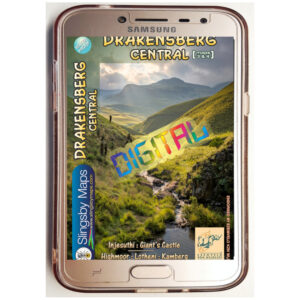
Drakensberg Central Hiking (Maps 3 & 4) – Digital
R253.00 Add to cart -
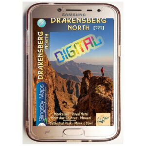
Drakensberg North Hiking (Maps 1 & 2) – Digital
R253.00 Add to cart -
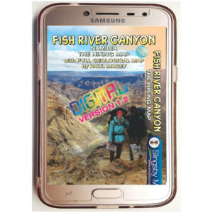
Namibia: Fish River Canyon Hiking (Edition 2) – Digital
R253.00 Add to cart -
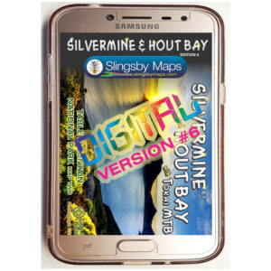
Silvermine & Hout Bay Hiking Map – Digital (Edition 6)
R230.00 Add to cart -
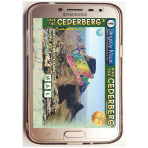
South Africa: Cederberg Hiking Map – Digital (Edition 4)
R373.75 Add to cart -
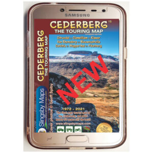
South Africa: Cederberg Touring Map (Edition 15) – Digital
R253.00 Add to cart -
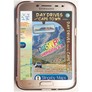
South Africa: Day Drives from Cape Town Touring Map (Edition 3) – Digital
R230.00 Add to cart -
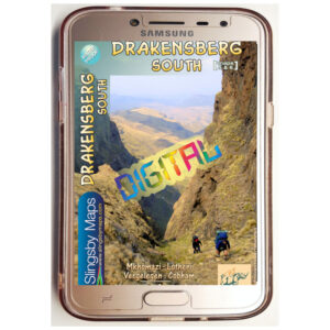
South Africa: Drakensberg South Hiking (Maps 5 & 6) (Edition 2.1) – Digital
R253.00 Add to cart -
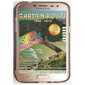
South Africa: Garden Route Touring Map (Edition 11) – Digital
R230.00 Add to cart